| |
The HYDROInform Ltd. is a research, system development, and consulting company in the
field of hydroinformatics. Our primary aim is to integrate the hydro-knowledge and latest
developments in information technology into up-to-date computer
applications. These tools help better analysing the complex problems
of the water systems and are to provide significant support to the
decision-making process within the integrated water resources
management. We are placing particular emphasis on the proactive
research and innovative development, and more reliable analyses.
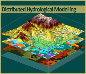
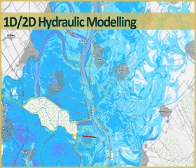
Over the years, the HYDROInform has developed and implemented different types of models,
such as physically based large-scale high resolution distributed
hydrological model; weather-generator; hydrodynamic surface and
sub-surface models. Our applications give user-friendly solutions
from analysing complex global, regional or local processes, through
more reliable flood/drought forecasting solutions, to designing and
operational management of reservoirs or water control systems. |
|